2007
NH1709 : Loch Cluanie from Ceann Druim na Garth-leitir
taken 17 years ago, 4 km WSW of Bun Loyne, Highland, Scotland
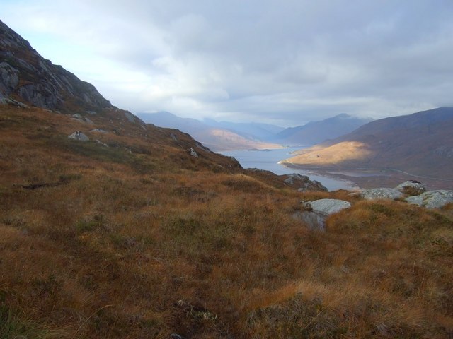
Loch Cluanie from Ceann Druim na Garth-leitir
 Map © Crown Copyright")
TIP: Click the map for more Large scale mapping
- Grid Square
- NH1709 (more nearby 🔍)
- Photographer
- Chris Upson (more nearby)
- Date Taken
- Friday, 19 October, 2007 (more nearby)
- Submitted
- Monday, 22 October, 2007
- Subject Location
-
OSGB36:
 NH 177 091 [100m precision]
WGS84: 57:8.1912N 5:0.8449W - Camera Location
-
OSGB36: NH 178 091
- View Direction
- West-northwest (about 292 degrees)