2018
NZ0445 : Lane to Waskerley
taken 6 years ago, near to Waskerley, County Durham, England
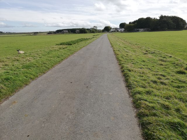
Lane to Waskerley
 Map © Crown Copyright")
TIP: Click the map for more Large scale mapping
- Grid Square
- NZ0445, 37 images (more nearby 🔍)
- Photographer
- Clive Nicholson (more nearby)
- Date Taken
- Sunday, 16 September, 2018 (more nearby)
- Submitted
- Monday, 24 September, 2018
- Subject Location
-
OSGB36:
 NZ 0492 4561 [10m precision]
WGS84: 54:48.3203N 1:55.4990W - Camera Location
-
OSGB36: NZ 04911 45634
- View Direction
- Southeast (about 135 degrees)