2007
TF3324 : Farmland in Whaplode
taken 17 years ago, near to Whaplode, Lincolnshire, England
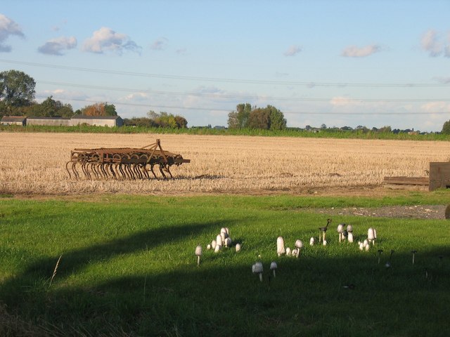
Farmland in Whaplode
A cluster of ink caps, a set of tines left after cultivating the field
 Map © Crown Copyright")
TIP: Click the map for more Large scale mapping
- Grid Square
- TF3324, 17 images (more nearby 🔍)
- Photographer
- Pip Rolls (more nearby)
- Date Taken
- Wednesday, 17 October, 2007 (more nearby)
- Submitted
- Tuesday, 23 October, 2007
- Subject Location
-
OSGB36:
 TF 332 246 [100m precision]
WGS84: 52:48.1672N 0:1.5357W - Camera Location
-
OSGB36: TF 332 247
- View Direction
- Southwest (about 225 degrees)