2018
SD5113 : Fields near Higher Wrennal
taken 6 years ago, near to Wrightington Bar, Lancashire, England
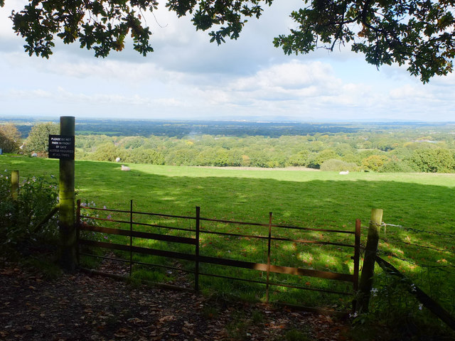
Fields near Higher Wrennal
From the field access gate on Sanderson Lane
 Map © Crown Copyright")
TIP: Click the map for more Large scale mapping
- Grid Square
- SD5113, 26 images (more nearby 🔍)
- Photographer
- Gary Rogers (more nearby)
- Date Taken
- Saturday, 6 October, 2018 (more nearby)
- Submitted
- Saturday, 6 October, 2018
- Subject Location
-
OSGB36:
 SD 5159 1344 [10m precision]
WGS84: 53:36.9154N 2:43.9951W - Camera Location
-
OSGB36: SD 5157 1339
- View Direction
- North-northeast (about 22 degrees)