O1952 : R129 Bridge, M1
taken 6 years ago, 3 km from Lusk, Dublin, Ireland
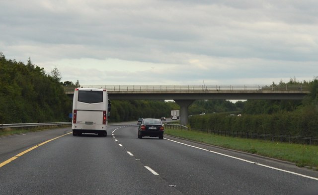
R129 Bridge, M1
The M1 is the main route between Dublin and Belfast. The M1 runs 83km from Dublin to Dundalk.
Wikipedia: Link
See other images of M1 Motorway (ROI)
Wikipedia: Link
See other images of M1 Motorway (ROI)
![Creative Commons Licence [Some Rights Reserved]](https://s1.geograph.org.uk/img/somerights20.gif)
|
· Find out How to reuse this image ·
Share:
|
|||||
| Start a discussion on O1952 | Suggest an update to this image | Contact the contributor | |||
Loading map... (JavaScript required)
- Grid Square
- O1952, 8 images (more nearby
 )
)
- Photographer
- N Chadwick (find more nearby)
- Date Taken
- Thursday, 2 August, 2018 (more nearby)
- Submitted
- Sunday, 7 October, 2018
- Geographical Context
- Subject Location
-
Irish:
 O 193 524 [100m precision]
WGS84: 53:30.4951N 6:12.1362W - Camera Location
-
Irish: O 192 524
- View Direction
- South-southeast (about 157 degrees)
This page has been viewed about 24 times.
View this location:
KML (Google Earth) ·
Google Maps ·
Bing Maps ·
Geograph Coverage Map ·
More Links for this image