2016
SJ9865 : Forest Wood near Gradbach
taken 8 years ago, near to Burntcliff Top, Cheshire East, England
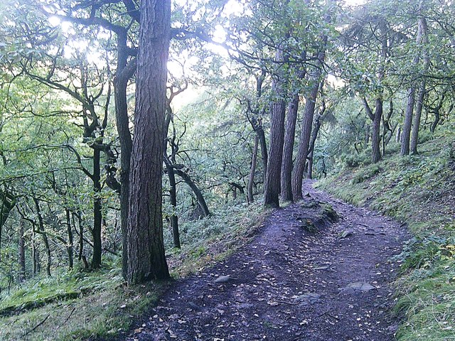
Forest Wood near Gradbach
Looking towards Forest Bottom in the direction of the mill. The River Dane runs left of picture.
 Map © Crown Copyright")
TIP: Click the map for more Large scale mapping
- Grid Square
- SJ9865, 97 images (more nearby 🔍)
- Photographer
- Jonathan Clitheroe (more nearby)
- Date Taken
- Saturday, 13 February, 2016 (more nearby)
- Submitted
- Wednesday, 10 October, 2018
- Subject Location
-
OSGB36:
 SJ 9887 6571 [10m precision]
WGS84: 53:11.3088N 2:1.1021W - Camera Location
-
OSGB36: SJ 9883 6571
- View Direction
- EAST (about 90 degrees)