2018
TQ7978 : View across St Mary's Marshes
taken 6 years ago, near to St Mary Hoo, Medway, England
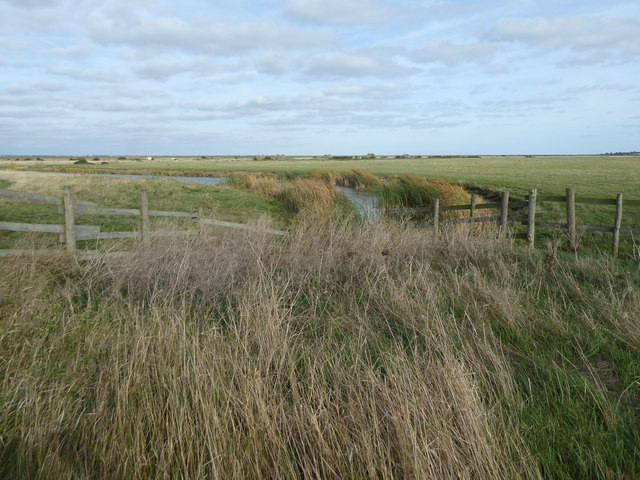
View across St Mary's Marshes
This view is from the path down from St Mary Hoo, just before it climbs up on to the river wall at St Mary's Bay. The roofless buildings in the distance are the remains of an army ammunition dump.
 Map © Crown Copyright")
TIP: Click the map for more Large scale mapping
- Grid Square
- TQ7978, 63 images (more nearby 🔍)
- Photographer
- Marathon (more nearby)
- Date Taken
- Monday, 8 October, 2018 (more nearby)
- Submitted
- Wednesday, 10 October, 2018
- Subject Location
-
OSGB36:
 TQ 7965 7876 [10m precision]
WGS84: 51:28.7560N 0:35.1418E - Camera Location
-
OSGB36: TQ 7960 7872
- View Direction
- Northeast (about 45 degrees)