2016
TQ0062 : Chobham: Bonsey's Lane
taken 8 years ago, near to Ottershaw, Surrey, England
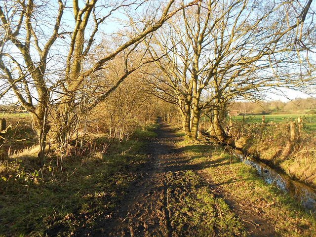
Chobham: Bonsey's Lane
Old Ordnance Survey maps show that Bonsey's Lane, running from the Chertsey Road towards Bonsey's Farm, existed long before the nearby Fairoaks Airport ever did.
 Map © Crown Copyright")
TIP: Click the map for more Large scale mapping
- Grid Square
- TQ0062, 63 images (more nearby 🔍)
- Photographer
- Nigel Cox (more nearby)
- Date Taken
- Friday, 15 January, 2016 (more nearby)
- Submitted
- Thursday, 11 October, 2018
- Subject Location
-
OSGB36:
 TQ 0070 6240 [10m precision]
WGS84: 51:21.1059N 0:33.3204W - Camera Location
-
OSGB36: TQ 0074 6234
- View Direction
- North-northwest (about 337 degrees)