2018
NS6037 : Loudoun Hill
taken 6 years ago, near to Stobieside, South Lanarkshire, Scotland
This is 1 of 17 images, with title Loudoun Hill in this square
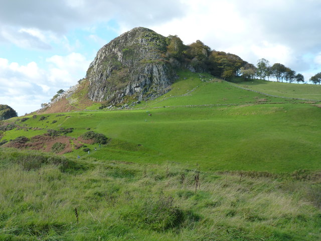
Loudoun Hill
A volcanic plug rising prominently close to the A71 road in Ayrshire. The line of a former railway track can still be distinguished below the cliffs.
 Map © Crown Copyright")
TIP: Click the map for more Large scale mapping
- Grid Square
- NS6037, 69 images (more nearby 🔍)
- Photographer
- James Allan (more nearby)
- Date Taken
- Saturday, 6 October, 2018 (more nearby)
- Submitted
- Sunday, 21 October, 2018
- Subject Location
-
OSGB36:
 NS 6085 3793 [10m precision]
WGS84: 55:36.9001N 4:12.6541W - Camera Location
-
OSGB36: NS 6128 3781
- View Direction
- West-northwest (about 292 degrees)