R0488 : R478 approaching The Rock Shop
taken 6 years ago, near to Liscannor, Co Clare, Ireland
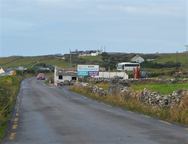
The R478 in County Clare runs 19km from Lisdoonvarna to Lahinch via the coast basically as a loop off the N67, although at the Lisdoonvarna end it starts by crossing the national road. The route gives access to the very popular tourist destination of the Cliffs of Moher.
The Wild Atlantic Way is a tourist trail on the west coast, and on parts of the north and south coasts, of Ireland. The 2,500 km (1,553 mile) driving route passes through nine counties and three provinces, stretching from County Donegal's Inishowen Peninsula in Ulster to Kinsale, County Cork, in Munster, on the Celtic Sea coast.
The route is broken down into 5 sections.
County Donegal
County Donegal to County Mayo
County Mayo to County Clare
County Clare to County Kerry
County Kerry to County Cork
Along the route there are 157 discovery points, 1,000 attractions and more than 2,500 activities. The route was officially launched in 2014.
Website: Link
![Creative Commons Licence [Some Rights Reserved]](https://s1.geograph.org.uk/img/somerights20.gif)
|
· Find out How to reuse this image ·
Share:
|
|||||
| Start a discussion on R0488 | Suggest an update to this image | Contact the contributor | |||
- Grid Square
- R0488, 2 images (more nearby
 )
)
- Photographer
- N Chadwick (find more nearby)
- Date Taken
- Tuesday, 31 July, 2018 (more nearby)
- Submitted
- Monday, 22 October, 2018
- Geographical Context
- Subject Location
-
Irish:
 R 044 889 [100m precision]
WGS84: 52:56.5623N 9:25.3674W - Camera Location
-
Irish: R 044 888
- View Direction
- WEST (about 270 degrees)