2000
NO1978 : Slopes east of Cairn of Claise
taken 24 years ago, near to Cairn of Claise [hill or Mountain], Aberdeenshire, Great Britain
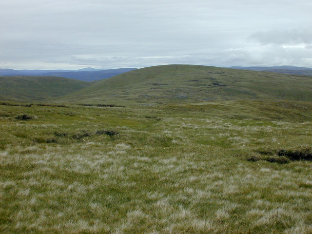
Slopes east of Cairn of Claise
Grassy higher up, breaking up into peat hags as height is lost. Tom Buidhe, seen ahead, is best gained slightly north of this point where a path of sorts avoids much of the hags.
 Map © Crown Copyright")
TIP: Click the map for more Large scale mapping
- Grid Square
- NO1978, 8 images (more nearby 🔍)
- Photographer
- Nigel Brown (more nearby)
- Date Taken
- Saturday, 1 July, 2000 (more nearby)
- Submitted
- Friday, 26 October, 2007
- Subject Location
-
OSGB36:
 NO 197 787 [100m precision]
WGS84: 56:53.6045N 3:19.1242W - Camera Location
-
OSGB36: NO 194 787
- View Direction
- EAST (about 90 degrees)