2018
SK8908 : Rutland Water Cycle Route, Hambleton Peninsula
taken 5 years ago, near to Upper Hambleton, Rutland, England
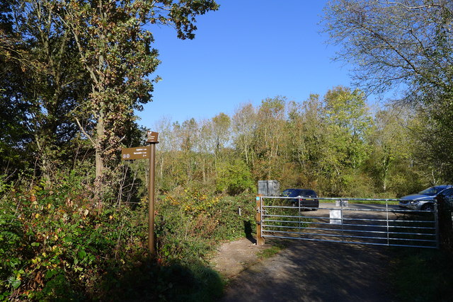
Rutland Water Cycle Route, Hambleton Peninsula
The route enjoys its own separate track around most of the peninsula, but rejoins the road at this point
 Map © Crown Copyright")
TIP: Click the map for more Large scale mapping
- Grid Square
- SK8908, 23 images (more nearby 🔍)
- Photographer
- Tim Heaton (more nearby)
- Date Taken
- Friday, 19 October, 2018 (more nearby)
- Submitted
- Wednesday, 7 November, 2018
- Subject Location
-
OSGB36:
 SK 8927 0802 [10m precision]
WGS84: 52:39.7535N 0:40.8909W - Camera Location
-
OSGB36: SK 8926 0801
- View Direction
- North-northeast (about 22 degrees)