2018
SE4824 : 100 years of power production
taken 5 years ago, near to Ferrybridge, Wakefield, England
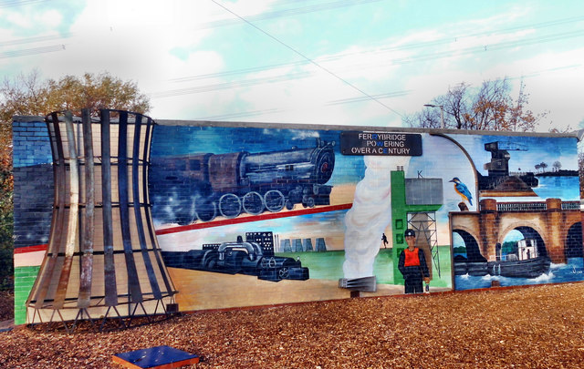
100 years of power production
Outside the old generating house at Ferrybridge.
 Map © Crown Copyright")
TIP: Click the map for more Large scale mapping
- Grid Square
- SE4824, 334 images (more nearby 🔍)
- Photographer
- derek dye (more nearby)
- Date Taken
- Monday, 12 November, 2018 (more nearby)
- Submitted
- Monday, 12 November, 2018
- Subject Location
-
OSGB36:
 SE 481 246 [100m precision]
WGS84: 53:42.9468N 1:16.2955W - Camera Location
-
OSGB36: SE 481 245
- View Direction
- NORTH (about 0 degrees)