2016
SP4559 : Oxford Canal: Old Engine House Arm entrance
taken 8 years ago, near to Marston Doles, Warwickshire, England
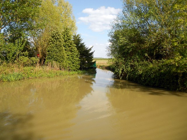
Oxford Canal: Old Engine House Arm entrance
The Old Engine House Arm once went to the pumping house that used to pump water up to this summit level from Napton Bottom Lock. Today it is foreshortened to about 300 metres beyond this entrance and is used for leisure boat moorings. The main Oxford Canal runs from right to left in this photograph.
Note the creepy figure in red on the left! Riding a horse or sat on a bough of a tree? The photographer was never aware of this person on the day...
Note the creepy figure in red on the left! Riding a horse or sat on a bough of a tree? The photographer was never aware of this person on the day...
 Map © Crown Copyright")
TIP: Click the map for more Large scale mapping
- Grid Square
- SP4559, 53 images (more nearby 🔍)
- Photographer
- Nigel Cox (more nearby)
- Date Taken
- Monday, 16 May, 2016 (more nearby)
- Submitted
- Monday, 12 November, 2018
- Subject Location
-
OSGB36:
 SP 4580 5903 [10m precision]
WGS84: 52:13.6545N 1:19.8529W - Camera Location
-
OSGB36: SP 4577 5904
- View Direction
- East-southeast (about 112 degrees)