2018
NM5246 : Downhill to Frisa
taken 6 years ago, 4 km SE of Lettermore, Isle of Mull, Argyll And Bute, Scotland
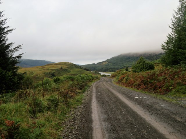
Downhill to Frisa
The track through Salen Forest at last leads downhill to clearer scenery and Loch Frisa ahead.
 Map © Crown Copyright")
TIP: Click the map for more Large scale mapping
- Grid Square
- NM5246, 9 images (more nearby 🔍)
- Photographer
- Andrew Wood (more nearby)
- Date Taken
- Saturday, 1 September, 2018 (more nearby)
- Submitted
- Friday, 16 November, 2018
- Subject Location
-
OSGB36:
 NM 520 462 [100m precision]
WGS84: 56:32.5774N 6:2.1363W - Camera Location
-
OSGB36: NM 521 461
- View Direction
- Northwest (about 315 degrees)