V8776 : N71 climbing to Molls Gap
taken 6 years ago, 7 km NW of Kenmare, Co Kerry, Ireland
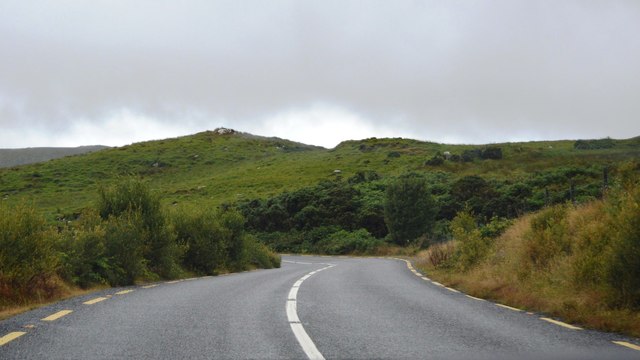
N71 climbing to Molls Gap
Ring of Kerry
The Ring of Kerry is a 179-kilometre-long circular tourist route in County Kerry. Clockwise from Killarney it follows the N71 to Kenmare, then the N70 around the Iveragh Peninsula to Killorglin passing through Sneem, Waterville, Cahersiveen, and Glenbeigh before returning to Killarney via the N72.
![Creative Commons Licence [Some Rights Reserved]](https://s1.geograph.org.uk/img/somerights20.gif)
|
· Find out How to reuse this image ·
Share:
|
|||||
| Start a discussion on V8776 | Suggest an update to this image | Contact the contributor | |||
Loading map... (JavaScript required)
- Grid Square
- V8776 (more nearby
 )
)
- Photographer
- N Chadwick (find more nearby)
- Date Taken
- Sunday, 29 July, 2018 (more nearby)
- Submitted
- Saturday, 17 November, 2018
- Geographical Context
- Subject Location
-
Irish:
 V 870 762 [100m precision]
WGS84: 51:55.6630N 9:38.5626W - Camera Location
-
Irish: V 870 762
- View Direction
- West-northwest (about 292 degrees)
This page has been viewed about 14 times.
View this location:
KML (Google Earth) ·
Google Maps ·
Bing Maps ·
Geograph Coverage Map ·
More Links for this image
·
Bing Maps ·
Geograph Coverage Map ·
More Links for this image