2018
TL6666 : Sign, CCTV post and bridge at A14/A11 junction
taken 6 years ago, 3 km from Snailwell, Cambridgeshire, England
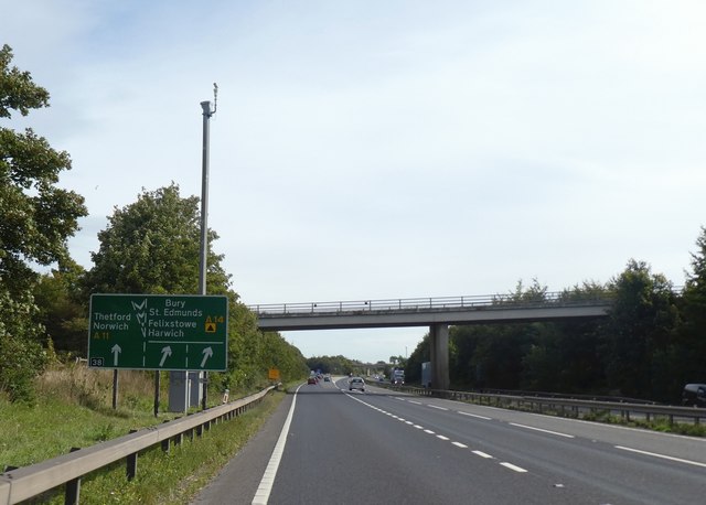
Sign, CCTV post and bridge at A14/A11 junction
The bridge carries the A1304 which disappears into the A11
A14 Road
The A14 is a major road running 127 miles from Felixstowe to the Catthorpe Interchange, the junction of the M1 and M6 motorways near Rugby. The road connects East Anglia with the West Midlands and The North.
Wikipedia: Link
A11 Road
The A11 is a major road in Eastern England. It runs roughly north east for 111 miles from London to Norwich, With the M11 opening in the 1970s and then the A12 extension in 1999, a lengthy section has been downgraded between the suburbs of east London and the north-west corner of the county of Essex. It also overlaps with the A14 on the Newmarket bypass.
Link
 Map © Crown Copyright")
TIP: Click the map for more Large scale mapping
- Grid Square
- TL6666, 28 images (more nearby 🔍)
- Photographer
- David Smith (more nearby)
- Date Taken
- Sunday, 16 September, 2018 (more nearby)
- Submitted
- Saturday, 17 November, 2018
- Subject Location
-
OSGB36:
 TL 6692 6652 [10m precision]
WGS84: 52:16.2898N 0:26.6978E - Camera Location
-
OSGB36: TL 6686 6648
- View Direction
- East-northeast (about 67 degrees)