H8052 : Drumflugh Townland
taken 16 years ago, near to Benburb, Co Tyrone, Northern Ireland
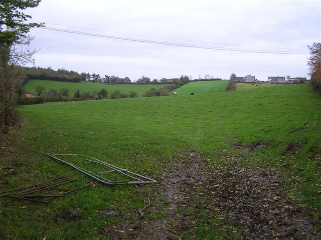
Drumflugh Townland
It is located to the west of Benburb
![Creative Commons Licence [Some Rights Reserved]](https://s1.geograph.org.uk/img/somerights20.gif)
|
· Find out How to reuse this image ·
Share:
|
|||||
| Start a discussion on H8052 | Suggest an update to this image | Contact the contributor | |||
Loading map... (JavaScript required)
- Grid Square
- H8052 (more nearby
 )
)
- Photographer
- Kenneth Allen (find more nearby)
- Date Taken
- Wednesday, 31 October, 2007 (more nearby)
- Submitted
- Thursday, 1 November, 2007
- Category
- Countryside (more nearby)
- Subject Location
-
Irish:
 H 808 525 [100m precision]
WGS84: 54:24.8802N 6:45.3717W - Camera Location
-
Irish: H 806 524
- View Direction
- East-northeast (about 67 degrees)
This page has been viewed about 104 times.
View this location:
KML (Google Earth) ·
Google Maps ·
Bing Maps ·
Geograph Coverage Map ·
More Links for this image
·
Bing Maps ·
Geograph Coverage Map ·
More Links for this image