2018
SH6660 : Llyn Ogwen
taken 5 years ago, near to Pont Pen-y-Benglog, Conwy, Wales
This is 1 of 19 images, with title Llyn Ogwen in this square
Llyn Ogwen
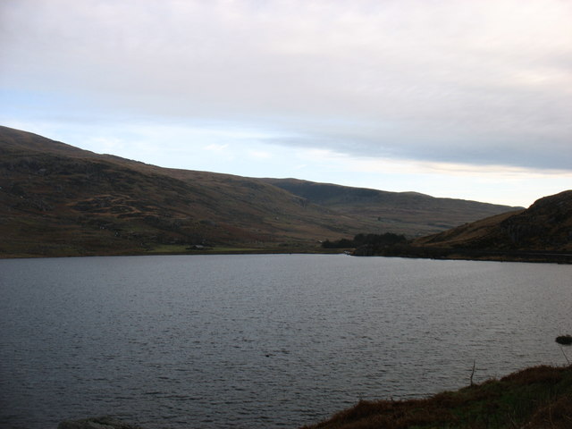
Looking to the head of the lake.
Llyn Ogwen
Llyn Ogwen is a lake in north-west Wales. It lies alongside the A5 road between two mountain ranges of Snowdonia, the Carneddau and the Glyderau. The lake lies at a height of about 310 metres and has an area of 78 acres, but it is a very shallow lake, with a maximum depth of only a little over 3 metres. Llyn Ogwen is the source of the Afon Ogwen which flows north to reach the sea near Bangor.
 Map © Crown Copyright")
TIP: Click the map for more Large scale mapping
- Grid Square
- SH6660, 112 images (more nearby 🔍)
- Photographer
- David Purchase (more nearby)
- Date Taken
- Monday, 24 December, 2018 (more nearby)
- Submitted
- Friday, 28 December, 2018
- Subject Location
-
OSGB36:
 SH 6645 6059 [10m precision]
WGS84: 53:7.5420N 3:59.8389W - Camera Location
-
OSGB36: SH 6614 6028
- View Direction
- Northeast (about 45 degrees)