2018
NJ1600 : Allt Bad a' Mhonaidh
taken 5 years ago, near to Allt Bad a' Mhonaidh [water Feature], Aberdeenshire, Great Britain
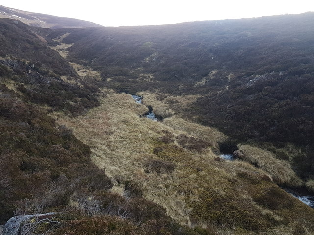
Allt Bad a' Mhonaidh
 Map © Crown Copyright")
TIP: Click the map for more Large scale mapping
- Grid Square
- NJ1600, 2 images (more nearby 🔍)
- Photographer
- David Lecore (more nearby)
- Date Taken
- Monday, 31 December, 2018 (more nearby)
- Submitted
- Tuesday, 1 January, 2019
- Subject Location
-
OSGB36:
 NJ 1681 0002 [10m precision]
WGS84: 57:5.0183N 3:22.4494W - Camera Location
-
OSGB36: NJ 16826 00016
- View Direction
- Northwest (about 315 degrees)