V3868 : R556, Skellig Ring
taken 6 years ago, near to Keel, Co Kerry, Ireland
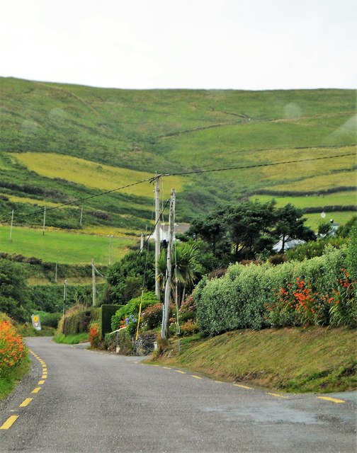
R556, Skellig Ring
R566
The R566 runs 12km from Derreen to Portmagee.
Skellig Ring
The Skellig Ring Scenic Drive is without doubt the best section of the world famous Ring of Kerry Scenic Drive and Wild Atlantic Way along the Skellig Coast in the south west of Ireland. The unmissable Skellig Ring scenic drive starts in either Cahersiveen or Waterville depending on where you are on the Ring of Kerry and takes in awe inspiring views of the Skellig Islands at every turn, the wonderful Valentia Island accessed by ferry and bridge, the picturesque fishing village of Portmagee, Ballinskelligs with its great Blue Flag beach,
![Creative Commons Licence [Some Rights Reserved]](https://s1.geograph.org.uk/img/somerights20.gif)
|
· Find out How to reuse this image ·
Share:
|
|||||
| Start a discussion on V3868 | Suggest an update to this image | Contact the contributor | |||
Loading map... (JavaScript required)
- Grid Square
- V3868, 4 images (more nearby
 )
)
- Photographer
- N Chadwick (find more nearby)
- Date Taken
- Sunday, 29 July, 2018 (more nearby)
- Submitted
- Thursday, 10 January, 2019
- Geographical Context
- Subject Location
-
Irish:
 V 380 689 [100m precision]
WGS84: 51:50.9892N 10:21.0280W - Camera Location
-
Irish: V 381 688
- View Direction
- NORTH (about 0 degrees)
This page has been viewed about 22 times.
View this location:
KML (Google Earth) ·
Google Maps ·
Bing Maps ·
Geograph Coverage Map ·
More Links for this image
·
Bing Maps ·
Geograph Coverage Map ·
More Links for this image