2018
SX8364 : Field boundary by Combefishacre Lane
taken 5 years ago, near to Ipplepen, Devon, England
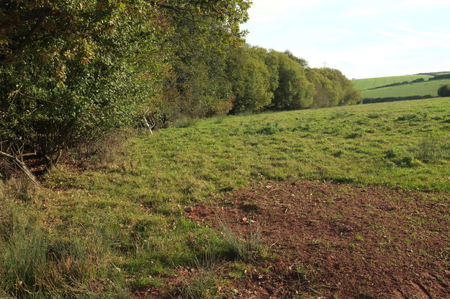
Field boundary by Combefishacre Lane
This overgrown hedge runs alongside a small stream which rises near Red Post.
 Map © Crown Copyright")
TIP: Click the map for more Large scale mapping
- Grid Square
- SX8364, 23 images (more nearby 🔍)
- Photographer
- Derek Harper (more nearby)
- Date Taken
- Wednesday, 24 October, 2018 (more nearby)
- Submitted
- Sunday, 13 January, 2019
- Subject Location
-
OSGB36:
 SX 8363 6479 [10m precision]
WGS84: 50:28.2809N 3:38.4718W - Camera Location
-
OSGB36: SX 8360 6482
- View Direction
- Southeast (about 135 degrees)