2018
SX7948 : Farm track to Lower Heathfield
taken 5 years ago, near to Millcombe, Devon, England
This is 1 of 2 images, with title Farm track to Lower Heathfield in this square
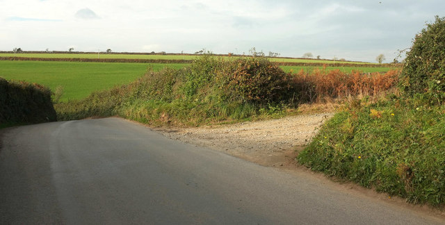
Farm track to Lower Heathfield
The country road shown in SX7948 : Road to Wallaton Cross passes the second of the turns seen as it begins its plunge to cross the Start Stream valley.
 Map © Crown Copyright")
TIP: Click the map for more Large scale mapping
- Grid Square
- SX7948, 22 images (more nearby 🔍)
- Photographer
- Derek Harper (more nearby)
- Date Taken
- Thursday, 25 October, 2018 (more nearby)
- Submitted
- Wednesday, 16 January, 2019
- Subject Location
-
OSGB36:
 SX 7957 4808 [10m precision]
WGS84: 50:19.2191N 3:41.5813W - Camera Location
-
OSGB36: SX 7957 4806
- View Direction
- NORTH (about 0 degrees)