2019
SP7660 : St Edmunds Road
taken 5 years ago, near to Northampton, West Northamptonshire, England
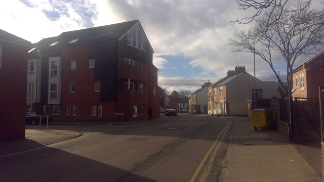
St Edmunds Road
A block of shared ownership flats called The Bank constructed in about 2008 on the corner of St Edmunds Road and Pytchley Street
 Map © Crown Copyright")
TIP: Click the map for more Large scale mapping
- Grid Square
- SP7660, 90 images (more nearby 🔍)
- Photographer
- Burgess Von Thunen (more nearby)
- Date Taken
- Wednesday, 16 January, 2019 (more nearby)
- Submitted
- Wednesday, 16 January, 2019
- Subject Location
-
OSGB36:
 SP 7613 6074 [10m precision]
WGS84: 52:14.3757N 0:53.1914W - Camera Location
-
OSGB36: SP 7615 6073
- View Direction
- West-northwest (about 292 degrees)