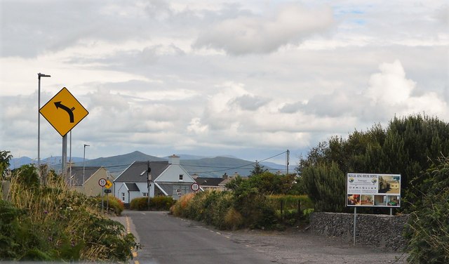
V3672 : R566 approaching Portmagee
taken 6 years ago, near to Portmagee, Co Kerry, Ireland
The Skellig Ring Scenic Drive is without doubt the best section of the world famous Ring of Kerry Scenic Drive and Wild Atlantic Way along the Skellig Coast in the south west of Ireland. The unmissable Skellig Ring scenic drive starts in either Cahersiveen or Waterville depending on where you are on the Ring of Kerry and takes in awe inspiring views of the Skellig Islands at every turn, the wonderful Valentia Island accessed by ferry and bridge, the picturesque fishing village of Portmagee, Ballinskelligs with its great Blue Flag beach,
The Ring of Kerry is a 179-kilometre-long circular tourist route in County Kerry. Clockwise from Killarney it follows the N71 to Kenmare, then the N70 around the Iveragh Peninsula to Killorglin passing through Sneem, Waterville, Cahersiveen, and Glenbeigh before returning to Killarney via the N72.
The R566 runs 12km from Derreen to Portmagee.
![Creative Commons Licence [Some Rights Reserved]](https://s1.geograph.org.uk/img/somerights20.gif)
|
· Find out How to reuse this image ·
Share:
|
|||||
| Start a discussion on V3672 | Suggest an update to this image | Contact the contributor | |||
- Grid Square
- V3672, 9 images (more nearby
 )
)
- Photographer
- N Chadwick (find more nearby)
- Date Taken
- Sunday, 29 July, 2018 (more nearby)
- Submitted
- Wednesday, 16 January, 2019
- Geographical Context
- Subject Location
-
Irish:
 V 369 727 [100m precision]
WGS84: 51:53.0163N 10:22.1447W - Camera Location
-
Irish: V 369 727
- View Direction
- East-northeast (about 67 degrees)