2019
TA0734 : Ponies near Dunswell
taken 5 years ago, near to Dunswell, East Riding of Yorkshire, England
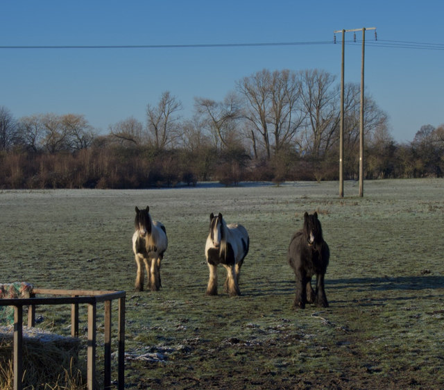
Ponies near Dunswell
Grazing land to the west of the top end of Beverley High Road, close to its junction with the Beverley bypass and Raich Carter Way.
 Map © Crown Copyright")
TIP: Click the map for more Large scale mapping
- Grid Square
- TA0734, 73 images (more nearby 🔍)
- Photographer
- Paul Harrop (more nearby)
- Date Taken
- Wednesday, 23 January, 2019 (more nearby)
- Submitted
- Wednesday, 23 January, 2019
- Subject Location
-
OSGB36:
 TA 0760 3431 [10m precision]
WGS84: 53:47.6391N 0:22.0807W - Camera Location
-
OSGB36: TA 0763 3432
- View Direction
- West-southwest (about 247 degrees)