2002
SS2203 : Marhamchurch Foundry
taken 22 years ago, near to Marhamchurch, Cornwall, England
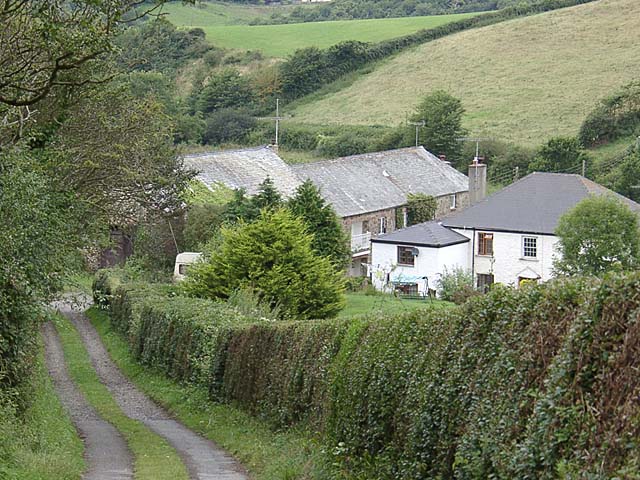
Marhamchurch Foundry
Looking down the lane which runs parallel to the course of the Marhamchurch incline plane. The buildings at the bottom were once a foundry.
 Map © Crown Copyright")
TIP: Click the map for more Large scale mapping
- Grid Square
- SS2203, 42 images (more nearby 🔍)
- Photographer
- David Kitching (more nearby)
- Date Taken
- Thursday, 1 August, 2002 (more nearby)
- Submitted
- Sunday, 2 October, 2005
- Subject Location
-
OSGB36:
 SS 220 037 [100m precision]
WGS84: 50:48.3265N 4:31.6571W