S6139 : Brown's Barn Bridge
taken 5 years ago, near to Inistioge, Co Kilkenny, Ireland
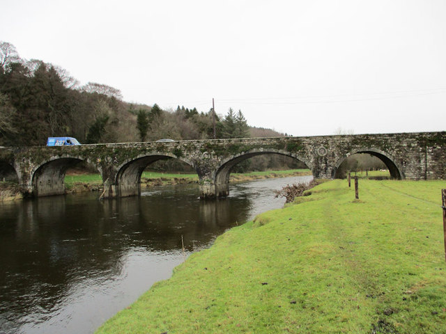
Brown's Barn Bridge
On the Nore Valley Way hiking trail as it approaches Brown's Barn Bridge.
![Creative Commons Licence [Some Rights Reserved]](https://s1.geograph.org.uk/img/somerights20.gif)
|
· Find out How to reuse this image ·
Share:
|
|||||
| Start a discussion on S6139 | Suggest an update to this image | Contact the contributor | |||
Loading map... (JavaScript required)
- Grid Square
- S6139, 7 images (more nearby
 )
)
- Photographer
- kevin higgins (find more nearby)
- Date Taken
- Wednesday, 23 January, 2019 (more nearby)
- Submitted
- Thursday, 31 January, 2019
- Geographical Context
- Primary Subject of Photo
- Subject Location
-
Irish:
 S 617 391 [100m precision]
WGS84: 52:30.0567N 7:5.4867W - Camera Location
-
Irish: S 617 390
- View Direction
- North-northeast (about 22 degrees)
This page has been viewed about 27 times.
View this location:
KML (Google Earth) ·
Google Maps ·
Bing Maps ·
Geograph Coverage Map ·
More Links for this image
·
Bing Maps ·
Geograph Coverage Map ·
More Links for this image