Q8200 : N70, Milltown
taken 6 years ago, near to Milltown, Co Kerry, Ireland
This is 1 of 3 images, with title N70, Milltown in this square
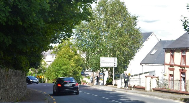
N70, Milltown
The N70 runs a "long way round" from Tralee to the N71 at Kenmare, via the County Kerry Coast, a distance of 142km. The majority of the route, along with the northern end of the N71 and western end of the N72 makes up the Ring of Kerry tourist route.
See other images of N70 Road
See other images of N70 Road
![Creative Commons Licence [Some Rights Reserved]](https://s1.geograph.org.uk/img/somerights20.gif)
|
· Find out How to reuse this image ·
Share:
|
|||||
| Start a discussion on Q8200 | Suggest an update to this image | Contact the contributor | |||
Loading map... (JavaScript required)
- Grid Square
- Q8200, 9 images (more nearby
 )
)
- Photographer
- N Chadwick (find more nearby)
- Date Taken
- Sunday, 29 July, 2018 (more nearby)
- Submitted
- Thursday, 31 January, 2019
- Geographical Context
- Subject Location
-
Irish:
 Q 823 004 [100m precision]
WGS84: 52:8.6050N 9:43.1401W - Camera Location
-
Irish: Q 823 003
- View Direction
- Northeast (about 45 degrees)
This page has been viewed about 39 times.
View this location:
KML (Google Earth) ·
Google Maps ·
Bing Maps ·
Geograph Coverage Map ·
More Links for this image
·
Bing Maps ·
Geograph Coverage Map ·
More Links for this image