2007
NM9229 : Forestry edge west of Cruach Clenamacrie
taken 16 years ago, 5 km SSE of Connel, Argyll And Bute, Scotland
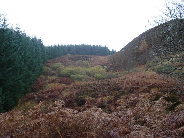
Forestry edge west of Cruach Clenamacrie
 Map © Crown Copyright")
TIP: Click the map for more Large scale mapping
- Grid Square
- NM9229 (more nearby 🔍)
- Photographer
- John McLuckie (more nearby)
- Date Taken
- Sunday, 4 November, 2007 (more nearby)
- Submitted
- Monday, 5 November, 2007
- Subject Location
-
OSGB36:
 NM 929 294 [100m precision]
WGS84: 56:24.6879N 5:21.4974W - Camera Location
-
OSGB36: NM 929 292
- View Direction
- North-northwest (about 337 degrees)