2019
TR0827 : Holiday park, Dymchurch Road, St Marys Bay
taken 5 years ago, near to St Mary's Bay, Kent, England
This is 1 of 3 images, with title Holiday park, Dymchurch Road, St Marys Bay in this square
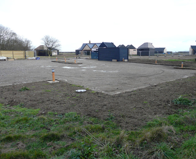
Holiday park, Dymchurch Road, St Marys Bay
Planning permission was approved, with conditions, by Folkestone and Hythe District Council under application number Y16/0534/SH for change of use of the land to a holiday park for general holiday use, together with the partial demolition of existing holiday accommodation and erection of new holiday accommodation buildings and replacement swimming pool, formation of camping area, together with associated access, parking and infrastructure.
This image of the buildings was taken from a public footpath, which runs down one side of the development.
This image of the buildings was taken from a public footpath, which runs down one side of the development.
 Map © Crown Copyright")
TIP: Click the map for more Large scale mapping
- Grid Square
- TR0827, 163 images (more nearby 🔍)
- Photographer
- John Baker (more nearby)
- Date Taken
- Sunday, 27 January, 2019 (more nearby)
- Submitted
- Friday, 8 February, 2019
- Subject Location
-
OSGB36:
 TR 0891 2706 [10m precision]
WGS84: 51:0.2989N 0:58.5810E - Camera Location
-
OSGB36: TR 0885 2707
- View Direction
- East-southeast (about 112 degrees)