2019
SZ1994 : Verno Lane
taken 5 years ago, near to Hinton, Hampshire, England
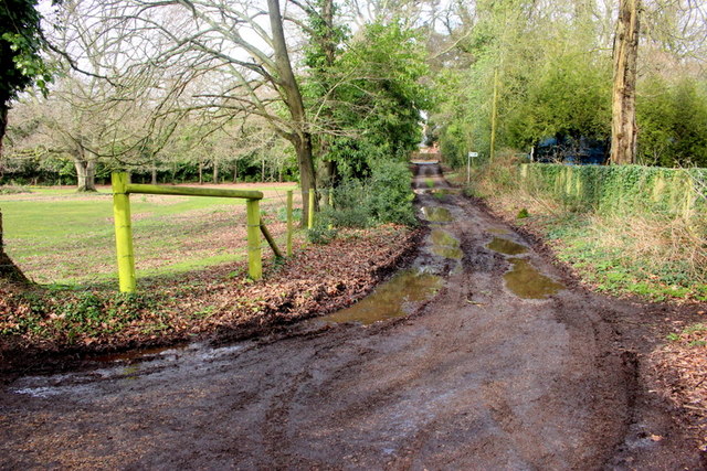
Verno Lane
Described as being unsuitable for motor vehicles this track is an old lane that runs from the A35 to Smugglers lane North. This is just adjacent to the top end of the cul-de-sac known as Hazel Close.
 Map © Crown Copyright")
TIP: Click the map for more Large scale mapping
- Grid Square
- SZ1994, 34 images (more nearby 🔍)
- Photographer
- Nigel Mykura (more nearby)
- Date Taken
- Wednesday, 6 March, 2019 (more nearby)
- Submitted
- Saturday, 16 March, 2019
- Subject Location
-
OSGB36:
 SZ 1936 9449 [10m precision]
WGS84: 50:44.9815N 1:43.6167W - Camera Location
-
OSGB36: SZ 1937 9446
- View Direction
- NORTH (about 0 degrees)