2019
TQ2933 : Danger soft deep mud
taken 5 years ago, 3 km from Pease Pottage, West Sussex, England
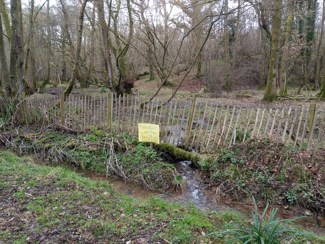
Danger soft deep mud
Presumably the sign applies to the other side of the fence, the bridleway on the near side merely has soft shallow mud.
 Map © Crown Copyright")
TIP: Click the map for more Large scale mapping
- Grid Square
- TQ2933, 143 images (more nearby 🔍)
- Photographer
- Robin Webster (more nearby)
- Date Taken
- Thursday, 7 March, 2019 (more nearby)
- Submitted
- Wednesday, 20 March, 2019
- Subject Location
-
OSGB36:
 TQ 2905 3335 [10m precision]
WGS84: 51:5.0976N 0:9.5329W - Camera Location
-
OSGB36: TQ 29035 33376
- View Direction
- Southeast (about 135 degrees)