J0527 : Main gate to Derrymore Park, Bessbrook
taken 5 years ago, near to Bessbrook, Co Armagh, Northern Ireland
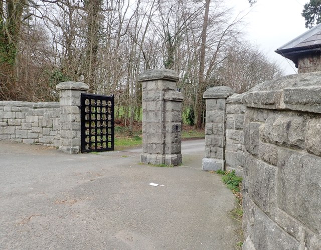
Main gate to Derrymore Park, Bessbrook
Derrymore House is described by its present owners - the National Trust - as a "late 18th-century, thatched, house in a gentrified vernacular style..". Roofed with reeds from the banks of the Shannon, the house dates from the 1770s and was built for Sir Isaac Corry MP for Newry and the last Chancellor of the Exchequer of the Irish Parliament. Tradition has it that the Act of Union of 1801 uniting Great Britain and Ireland was drafted in its drawing room.
In 1859 the house and its 100 acre demesne were bought by John Grubb Richardson, a Quaker linen manufacturer, who lived in the adjoining Woodhouse Estate. Richardson had already built the Bessbrook Mill and the estate village of Bessbrook and was later to add an electric tramway linking Bessbrook and Newry. He also constructed a Georgian style house adjoining Derrymore House, four lodges and a Quaker Meeting House in its grounds. Richardson died in 1891. In 1949 the Richardson family gifted the Derrymore Demesne to the National Trust. The Trust later demolished the Georgian house leaving the pre-existing thatched cottage. During the Troubles Derrymore House was bombed no less than 5 times.
See other images of Derrymore House
![Creative Commons Licence [Some Rights Reserved]](https://s1.geograph.org.uk/img/somerights20.gif)
|
· Find out How to reuse this image ·
Share:
|
|||||
| Start a discussion on J0527 | Suggest an update to this image | Contact the contributor | |||
Loading map... (JavaScript required)
- Grid Square
- J0527, 42 images (more nearby
 )
)
- Photographer
- Eric Jones (find more nearby)
- Date Taken
- Thursday, 21 March, 2019 (more nearby)
- Submitted
- Saturday, 23 March, 2019
- Geographical Context
- Subject Location
-
Irish:
 J 055 275 [100m precision]
WGS84: 54:11.1603N 6:23.0450W - Camera Location
-
Irish: J 055 275
- View Direction
- WEST (about 270 degrees)
This page has been viewed about 34 times.
View this location:
KML (Google Earth) ·
Google Maps ·
Bing Maps ·
Geograph Coverage Map ·
More Links for this image
·
Bing Maps ·
Geograph Coverage Map ·
More Links for this image