2019
SU6029 : No Fire Tower here in Cheriton Wood
taken 5 years ago, near to Bramdean, Hampshire, England
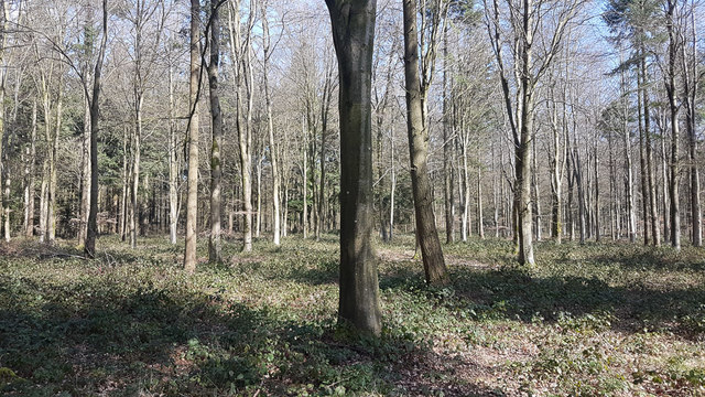
No Fire Tower here in Cheriton Wood
Marked as a Fire Tower on my Ordnance Survey Explorer map, but there is none here, and I could see no remnants amongst the brambles. But it is about 50 years since we could afford to pay someone to sit up a tower on the off chance of seeing a fire.
 Map © Crown Copyright")
TIP: Click the map for more Large scale mapping
- Grid Square
- SU6029, 23 images (more nearby 🔍)
- Photographer
- Peter Facey (more nearby)
- Date Taken
- Sunday, 24 March, 2019 (more nearby)
- Submitted
- Sunday, 24 March, 2019
- Subject Location
-
OSGB36:
 SU 6088 2959 [10m precision]
WGS84: 51:3.7457N 1:7.9570W - Camera Location
-
OSGB36: SU 6088 2958
- View Direction
- NORTH (about 0 degrees)