2019
SJ5089 : Track to Rainhill Stoops
taken 5 years ago, near to Cronton, Knowsley, England
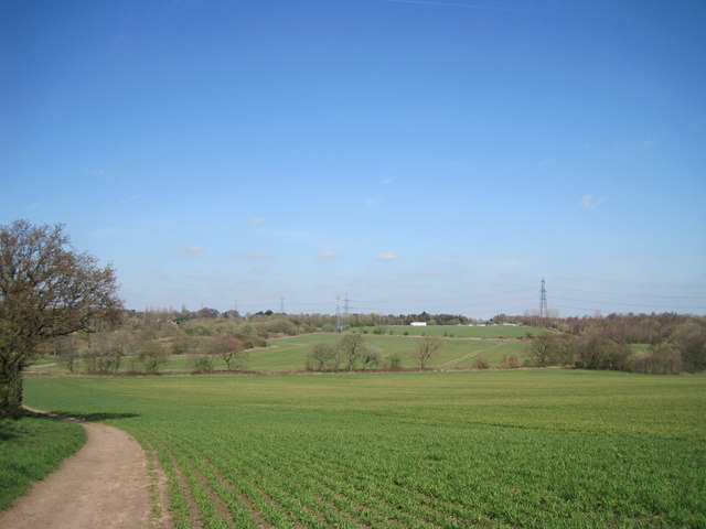
Track to Rainhill Stoops
Track through open farmland from Pex Hill to Rainhill Stoops.
 Map © Crown Copyright")
TIP: Click the map for more Large scale mapping
- Grid Square
- SJ5089, 25 images (more nearby 🔍)
- Photographer
- Sue Adair (more nearby)
- Date Taken
- Thursday, 28 March, 2019 (more nearby)
- Submitted
- Thursday, 28 March, 2019
- Subject Location
-
OSGB36:
 SJ 5010 8926 [10m precision]
WGS84: 53:23.8678N 2:45.1150W - Camera Location
-
OSGB36: SJ 5013 8910
- View Direction
- NORTH (about 0 degrees)