2007
TF8231 : Sand and gravel strata on the southern edge of Coxford Wood
taken 16 years ago, near to Syderstone, Norfolk, England
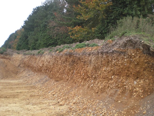
Sand and gravel strata on the southern edge of Coxford Wood
The sand and gravel quarry goes right up to the edge of wood.
 Map © Crown Copyright")
TIP: Click the map for more Large scale mapping
- Grid Square
- TF8231, 14 images (more nearby 🔍)
- Photographer
- Nigel Jones (more nearby)
- Date Taken
- Monday, 5 November, 2007 (more nearby)
- Submitted
- Monday, 12 November, 2007
- Subject Location
-
OSGB36:
 TF 828 311 [100m precision]
WGS84: 52:50.8242N 0:42.8359E - Camera Location
-
OSGB36: TF 828 311
- View Direction
- West-northwest (about 292 degrees)