2018
SK4860 : Stoneyford Road (B6028)
taken 6 years ago, near to Stanton Hill, Nottinghamshire, England
This is 1 of 2 images, with title Stoneyford Road (B6028) in this square
Stoneyford Road (B6028)
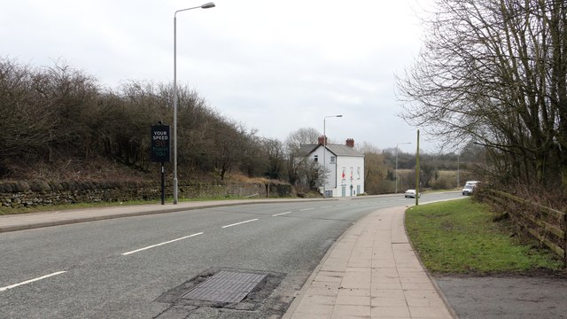
This south-easterly facing photograph is of Stoneyford Road. The road runs between Stanton Hill, behind the viewpoint and Sutton-in-Ashfield, ahead.
The viewpoint is adjacent to a public footpath, right foreground, leading into Brierley Forest Park.
It was near this point that the Midland Railway's Skegby Colliery Branch terminated, as can be seen from this OS map dated 1892-14 from the National Library of Scotland Link
***
See also this photograph by JThomas:- SK4860 : Stoneyford Road (B6028).
 Map © Crown Copyright")
TIP: Click the map for more Large scale mapping
- Grid Square
- SK4860, 49 images (more nearby 🔍)
- Photographer
- Alan Walker (more nearby)
- Date Taken
- Sunday, 11 March, 2018 (more nearby)
- Submitted
- Wednesday, 3 April, 2019
- Subject Location
-
OSGB36:
 SK 4880 6040 [10m precision]
WGS84: 53:8.3116N 1:16.3184W - Camera Location
-
OSGB36: SK 4875 6043
- View Direction
- East-southeast (about 112 degrees)