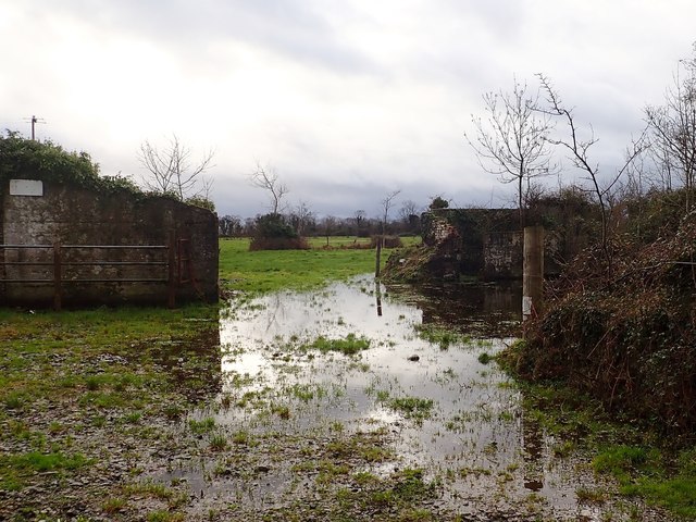
J0706 : Flooded land south of the Shore Road
taken 5 years ago, 3 km from Blackrock, Co Louth, Ireland
![Creative Commons Licence [Some Rights Reserved]](https://s1.geograph.org.uk/img/somerights20.gif)
|
· Find out How to reuse this image ·
Share:
|
|||||
| Start a discussion on J0706 | Suggest an update to this image | Contact the contributor | |||
Loading map... (JavaScript required)
- Grid Square
- J0706, 9 images (more nearby
 )
)
- Photographer
- Eric Jones (find more nearby)
- Date Taken
- Thursday, 20 December, 2018 (more nearby)
- Submitted
- Sunday, 7 April, 2019
- Geographical Context
- Subject Location
-
Irish:
 J 078 064 [100m precision]
WGS84: 53:59.7461N 6:21.3467W - Camera Location
-
Irish: J 078 064
- View Direction
- SOUTH (about 180 degrees)
This page has been viewed about 21 times.
View this location:
KML (Google Earth) ·
Google Maps ·
Bing Maps ·
Geograph Coverage Map ·
More Links for this image
·
Bing Maps ·
Geograph Coverage Map ·
More Links for this image