2019
NM4257 : Ruins beside Dùn Ara
taken 5 years ago, near to Dun Ara (castle) [antiquity (non-Roman)], Argyll And Bute, Great Britain
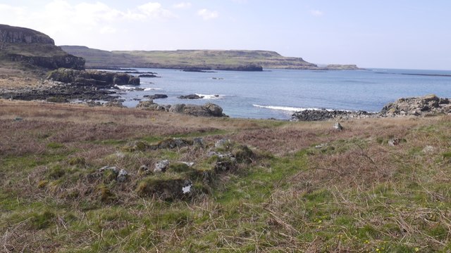
Ruins beside Dùn Ara
As well as the fortifications on the crag, the site includes surrounding infrastructure: buildings, industrial activity and a dock.
 Map © Crown Copyright")
TIP: Click the map for more Large scale mapping
- Grid Square
- NM4257, 27 images (more nearby 🔍)
- Photographer
- Richard Webb (more nearby)
- Date Taken
- Thursday, 11 April, 2019 (more nearby)
- Submitted
- Tuesday, 16 April, 2019
- Subject Location
-
OSGB36:
 NM 4273 5767 [10m precision]
WGS84: 56:38.3957N 6:11.8553W - Camera Location
-
OSGB36: NM 4275 5767
- View Direction
- West-southwest (about 247 degrees)