2019
TQ9285 : Richmond Avenue, Shoeburyness
taken 5 years ago, near to North Shoebury, Southend-on-Sea, England
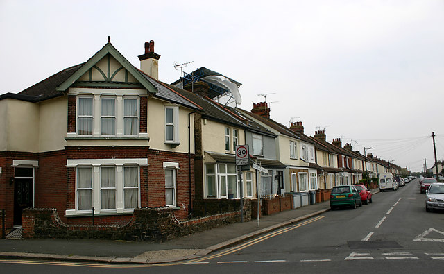
Richmond Avenue, Shoeburyness
Taken at the junction with Caulfield Road. Richmond Avenue marks the western extremity of the C19 parts of Shoeburyness which before 1933 had been administratively separate from neighbouring Southend.
 Map © Crown Copyright")
TIP: Click the map for more Large scale mapping
- Grid Square
- TQ9285, 42 images (more nearby 🔍)
- Photographer
- David Kemp (more nearby)
- Date Taken
- Tuesday, 16 April, 2019 (more nearby)
- Submitted
- Tuesday, 16 April, 2019
- Subject Location
-
OSGB36:
 TQ 9281 8519 [10m precision]
WGS84: 51:31.9611N 0:46.7095E - Camera Location
-
OSGB36: TQ 9279 8520
- View Direction
- East-southeast (about 112 degrees)