2016
NY2811 : Greenup Gill, visibility deteriorating
taken 8 years ago, 3 km from Stonethwaite, Cumbria, England
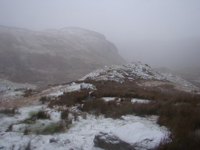
Greenup Gill, visibility deteriorating
 Map © Crown Copyright")
TIP: Click the map for more Large scale mapping
- Grid Square
- NY2811, 32 images (more nearby 🔍)
- Photographer
- Ibn Musa (more nearby)
- Date Taken
- Friday, 8 January, 2016 (more nearby)
- Submitted
- Thursday, 2 May, 2019
- Subject Location
-
OSGB36:
 NY 2817 1172 [10m precision]
WGS84: 54:29.7420N 3:6.6318W - Camera Location
-
OSGB36: NY 2821 1160
- View Direction
- North-northwest (about 337 degrees)