2005
NT4500 : Cauldcleuch Head
taken 19 years ago, near to Cauldcleuch Head [hill or Mountain], Scottish Borders, Great Britain
This is 1 of 3 images, with title Cauldcleuch Head in this square
Cauldcleuch Head
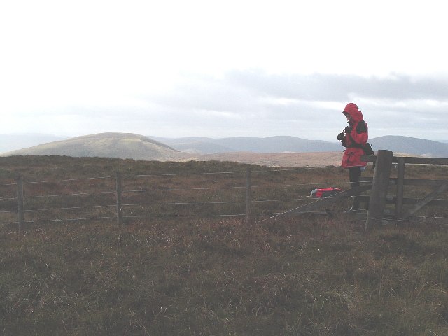
It's hard to find much to say about Cauldcleuch Head that isn't statistical. It is the highest point in the Roxburgh Hills on the south side of Teviotdale. In fact it is the only point that rises above the magical 2000 foot contour in this area. This makes the hill both a Donald and a Graham. In fact it is the closest Graham to England, just 12 miles from the border. As for the aesthetic ... well it's mostly peat bog, discarded rusty fence wire and ...er .. dead sheep. This is the view to the west, towards Wether Law.
 Map © Crown Copyright")
TIP: Click the map for more Large scale mapping
- Grid Square
- NT4500, 15 images (more nearby 🔍)
- Photographer
- Steve Kent (more nearby)
- Date Taken
- Sunday, 2 October, 2005 (more nearby)
- Submitted
- Wednesday, 5 October, 2005
- Subject Location
-
OSGB36:
 NT 456 006 [100m precision]
WGS84: 55:17.8112N 2:51.4500W - Camera Location
-
OSGB36: NT 456 006
- View Direction
- West-southwest (about 247 degrees)