H9617 : Agricultural traffic on the B30 at the western entrance to Silverbridge
taken 6 years ago, 4 km ENE of Creggan, Co Armagh, Northern Ireland
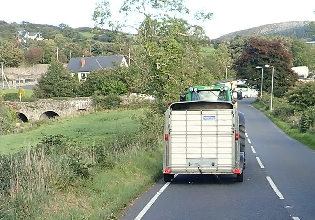
Agricultural traffic on the B30 at the western entrance to Silverbridge
The bridge, which spans the Creggan River, can be seen on the left.
![Creative Commons Licence [Some Rights Reserved]](https://s1.geograph.org.uk/img/somerights20.gif)
|
· Find out How to reuse this image ·
Share:
|
|||||
| Start a discussion on H9617 | Suggest an update to this image | Contact the contributor | |||
Loading map... (JavaScript required)
- Grid Square
- H9617, 22 images (more nearby
 )
)
- Photographer
- Eric Jones (find more nearby)
- Date Taken
- Monday, 24 September, 2018 (more nearby)
- Submitted
- Friday, 10 May, 2019
- Geographical Context
- Subject Location
-
Irish:
 H 963 179 [100m precision]
WGS84: 54:6.1015N 6:31.6992W - Camera Location
-
Irish: H 963 179
- View Direction
- EAST (about 90 degrees)
This page has been viewed about 11 times.
View this location:
KML (Google Earth) ·
Google Maps ·
Bing Maps ·
Geograph Coverage Map ·
More Links for this image
·
Bing Maps ·
Geograph Coverage Map ·
More Links for this image