2019
TQ9620 : Outer Field
taken 5 years ago, near to Camber, East Sussex, England
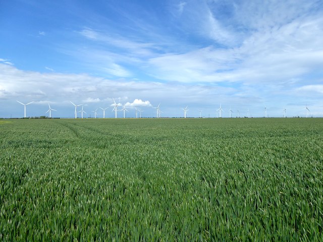
Outer Field
The name of the field according to East Guldeford's 1839 tithe map which is bounded by a bridleway to the south and a footpath to the west.
 Map © Crown Copyright")
TIP: Click the map for more Large scale mapping
- Grid Square
- TQ9620, 16 images (more nearby 🔍)
- Photographer
- Simon Carey (more nearby)
- Date Taken
- Friday, 10 May, 2019 (more nearby)
- Submitted
- Sunday, 12 May, 2019
- Subject Location
-
OSGB36:
 TQ 9635 2044 [10m precision]
WGS84: 50:56.9966N 0:47.6392E - Camera Location
-
OSGB36: TQ 9621 2039
- View Direction
- East-northeast (about 67 degrees)