2019
TQ9621 : Field Number 105
taken 5 years ago, near to Camber, East Sussex, England
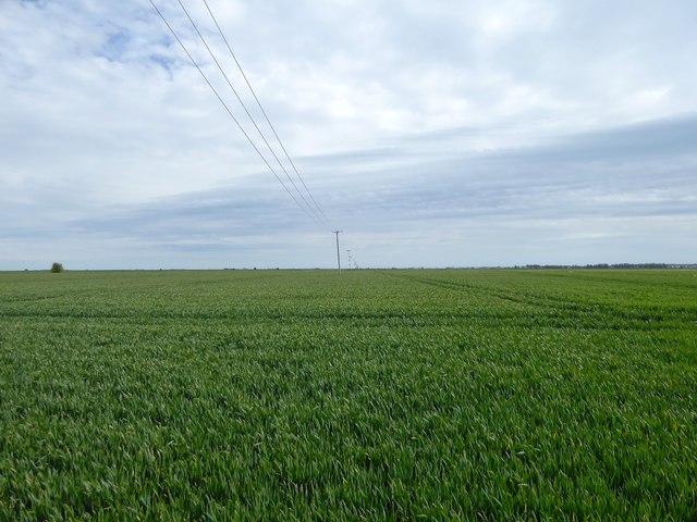
Field Number 105
The number of the field according to East Guldeford's 1839 tithe map that was left nameless at the time of the survey. Located to the south of Barn Farm.
 Map © Crown Copyright")
TIP: Click the map for more Large scale mapping
- Grid Square
- TQ9621, 26 images (more nearby 🔍)
- Photographer
- Simon Carey (more nearby)
- Date Taken
- Friday, 10 May, 2019 (more nearby)
- Submitted
- Sunday, 12 May, 2019
- Subject Location
-
OSGB36:
 TQ 9659 2123 [10m precision]
WGS84: 50:57.4175N 0:47.8695E - Camera Location
-
OSGB36: TQ 9654 2139
- View Direction
- South-southeast (about 157 degrees)