2018
TM4873 : Path across the Oldtown Marshes
taken 6 years ago, near to Walberswick, Suffolk, England
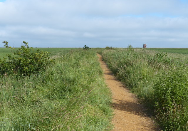
Path across the Oldtown Marshes
In the distance is a derelict 18th century windmill, in use until 1940.
 Map © Crown Copyright")
TIP: Click the map for more Large scale mapping
- Grid Square
- TM4873, 58 images (more nearby 🔍)
- Photographer
- Mat Fascione (more nearby)
- Date Taken
- Tuesday, 26 June, 2018 (more nearby)
- Submitted
- Sunday, 12 May, 2019
- Subject Location
-
OSGB36:
 TM 485 738 [100m precision]
WGS84: 52:18.3945N 1:38.6381E - Camera Location
-
OSGB36: TM 485 738
- View Direction
- Southeast (about 135 degrees)