2019
SD9900 : Deep Water at Carrbrook
taken 5 years ago, near to Buckton Vale, Tameside, England
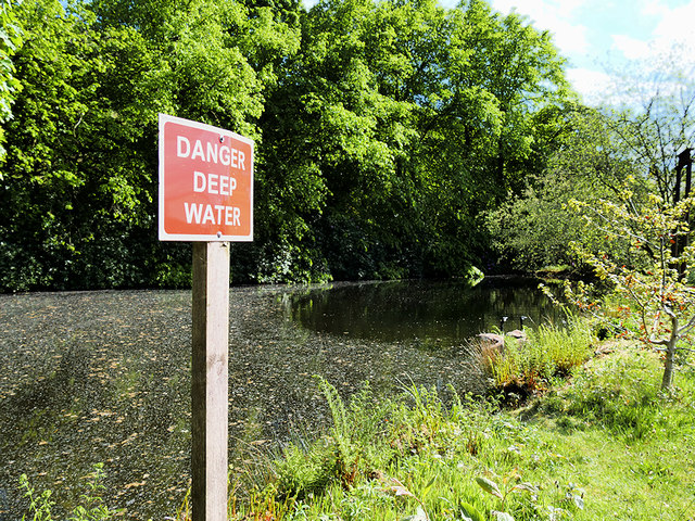
Deep Water at Carrbrook
This small reservoir was formerly associated with the calico printing and dye works which was the most influential industry at Carrbrook during the nineteenth and early twentieth century but has now been demolished and the houses at Calico Crescent now occupy its site.
 Map © Crown Copyright")
TIP: Click the map for more Large scale mapping
- Grid Square
- SD9900, 29 images (more nearby 🔍)
- Photographer
- David Dixon (more nearby)
- Date Taken
- Thursday, 16 May, 2019 (more nearby)
- Submitted
- Saturday, 18 May, 2019
- Subject Location
-
OSGB36:
 SD 991 009 [100m precision]
WGS84: 53:30.2874N 2:0.8480W - Camera Location
-
OSGB36: SD 991 009
- View Direction
- South-southeast (about 157 degrees)