2019
SU7072 : Swallows Croft, Reading
taken 5 years ago, near to Whitley, Reading, England
This is 1 of 14 images, with title Swallows Croft, Reading in this square
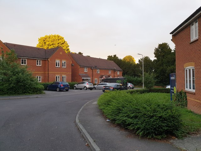
Swallows Croft, Reading
Swallows Croft is a residential street developed around the turn of the twentieth century on the site of the Ministry of Agriculture and fisheries site itself on the site of the grounds of Coley House, in Coley Park, Reading.
 Map © Crown Copyright")
TIP: Click the map for more Large scale mapping
- Grid Square
- SU7072, 302 images (more nearby 🔍)
- Photographer
- Chris Wood (more nearby)
- Date Taken
- Thursday, 20 June, 2019 (more nearby)
- Submitted
- Friday, 21 June, 2019
- Subject Location
-
OSGB36:
 SU 7009 7209 [10m precision]
WGS84: 51:26.6084N 0:59.5739W - Camera Location
-
OSGB36: SU 7007 7212
- View Direction
- Southeast (about 135 degrees)