2019
SU3582 : Farmland, Letcombe Bassett
taken 5 years ago, 3 km from Letcombe Bassett, Oxfordshire, England
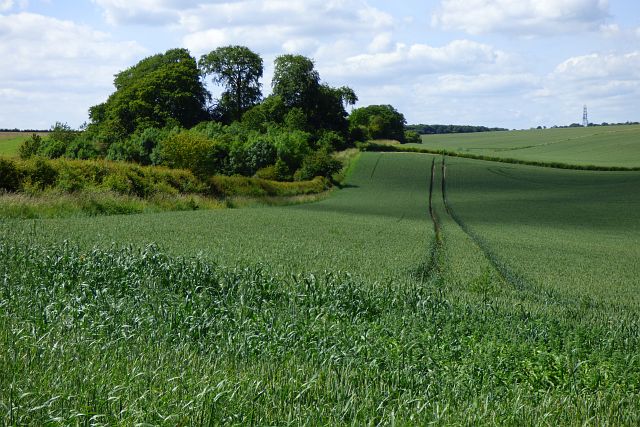
Farmland, Letcombe Bassett
A crop of wheat to the north of Stancombe Farm.
 Map © Crown Copyright")
TIP: Click the map for more Large scale mapping
- Grid Square
- SU3582, 7 images (more nearby 🔍)
- Photographer
- Andrew Smith (more nearby)
- Date Taken
- Saturday, 22 June, 2019 (more nearby)
- Submitted
- Sunday, 23 June, 2019
- Subject Location
-
OSGB36:
 SU 357 825 [100m precision]
WGS84: 51:32.4164N 1:29.1551W - Camera Location
-
OSGB36: SU 359 823
- View Direction
- Northwest (about 315 degrees)